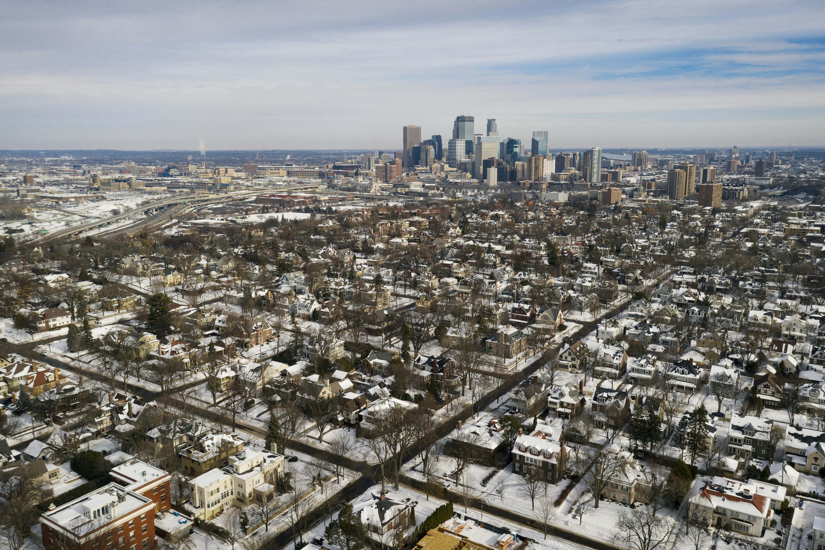



Drew M. Ross is the author of Becoming the Twin Cities: Swindles, Schemes, and Enduring Rivalries (Minnesota Historical Society Press, 2025). He lives near the gorge in Desnoyer Park and spends his free time on the trails and water. The views expressed are his own.
Between St. Anthony Falls and Fort Snelling, locks and dams have thwarted the Mississippi River's free flow for over a century. Now that their maintenance costs the public more than they benefit us, we're in the multi-year process of deciding whether all of the dams, which keep the river at artificially high levels, should be removed.
The return of a wild, free-flowing Mississippi sounds appealing. Currently, the river gorge is largely off-limits unless you have a boat, and even then it's not ideal for exploring. The channel for now-extinct barge traffic has already begun to refill with sand; outside of the channel are huge limestone boulders that were removed during its dredging. That old channel could be reconstructed, creating a water park for boating and tubing, according to John Anfinson, former superintendent of the Mississippi National River and Recreation Area. In the heat of the summer, at low water, much of the gorge could be transformed into an accessible park.
If the dams are eliminated, water in the gorge will again flow free and unencumbered for 39 miles, all at a much lower level not seen in over 100 years. What might we find on that freshly exposed ground?
Never before has a river at the heart of a metro area been reclaimed at this proposed scale. A lot has happened in and around the Mississippi gorge in the past century, and plenty of cargo and other objects have fallen into the river, the left-behind skeletons of an industrial waterway.
Previously hidden elements of that past life would be revealed. Stop by Meeker Island Lock and Dam site today (pictured above, just upriver from the Lake Street/Marshall Avenue Bridge) and you'll see the remains of the first lock and dam, finished in 1907. Lowering the water will expose more ruins of the old Meeker Dam (pictured below), which was eventually blown up but never cleared away.
Bohemian Flats was a shanty town below the Washington Avenue Bridge, the home of newly arrived immigrants. The current in this portion of the river was once very strong. Before the dams, the riverside community was inundated when the Mississippi rose in the spring or after big rains. The floods sometimes took over the streets, washing away loose items and foundation-free houses. In 1892, the Daily Globe reported that a man and his horse-drawn wagon had been swept up by the overflowing river. While he survived, his horses and wagon were never seen again.
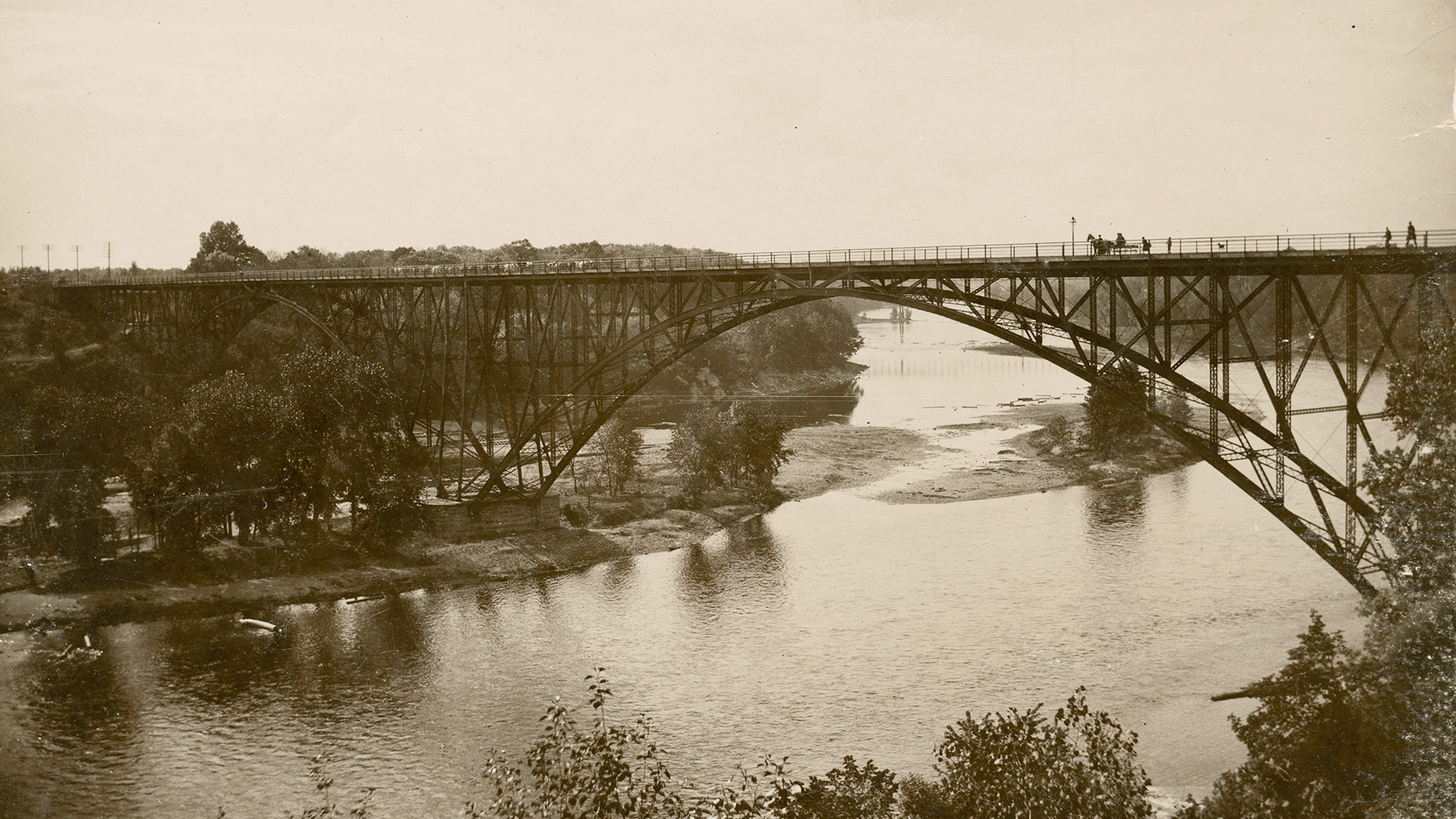
In the 19th century, this area of the river was also where the city would dump organic matter, such as manure and barn straw. Each of the bridges crossing the gorge would have a variety of beer bottles and lost fishing tackle from resident fishers. Near the Short Line Bridge, built in 1880, one might find remnants of cargo that had fallen off trains.
Construction projects in the area also contribute to potential detritus. During the 1881-83 construction of the Stone Arch Bridge, horses and humans fell in the river, as well as tools, frameworks, and stone debris. Likewise, the Lake Street/Marshall Avenue Bridge may have remnants of the old and the new. The original bridge was demolished, and the new one collapsed during construction in 1990, killing one worker. And then there's the I-35W bridge collapse. Though it was likely cleaned up more intensively because of a federal investigation, there would be plenty left to find.
Ever since Americans arrived on the scene, the river has served as a dumping ground. In 1880, the St. Paul Chamber of Commerce discussed the issue of sawdust in the river, which had caused obstructions above and below the city, according to the Daily Globe. Discharge from sawmills upriver was so voluminous the sawdust piled up on islands, smothering plants. Steamboat wheels churned up sawdust, and at one point boats couldn't navigate from St. Paul's landings up to Fort Snelling. Eventually, the chamber drew up legislation "prohibiting the discharge of saw-mill refuse into navigable waters."
In 1896, the Hammer & Clancy slaughterhouse was put on notice. Located a quarter mile south of the Short Line Bridge on the east bank, the company dumped waste into a chute located atop a bluff. Throughout the day the factory held back water from a large spring as the chute filled with slaughterhouse dregs. At quitting time, workers released the reservoir of water to flush refuse into the river. Eventually, the chute fell into disrepair and the spring dried up. Over 150 feet of river bank was strewn with the viscera of beef, mutton, and pork. The City Health Department ordered Hammer & Clancy to connect to sewer lines or close its rendering plant. (Incidentally, the spring has resurfaced and today it runs down St. Anthony Avenue on the south side of the Short Line Bridge).
In the past, we have focused on increasing the economic value of the river. Now, in a post-industrial scenario, where the locks cost us money with faltering economic benefit, there is a chance to bring the free-flowing river back to life. When we look at its history, we realize the entire gorge may well be an archaeological site. What we find—whether it's trash or treasure—will be of great interest.